
Sherman 6 ha Plot
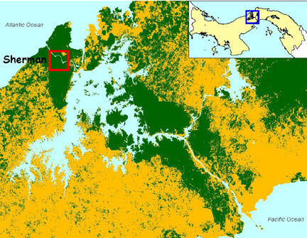
The Sherman plot is located in tropical moist forest on the Caribbean side of the Panama Canal, on a hilltop south of the Chagres River. This site receives approximately 2700-3000 mm of annual rainfall.
The plot is 5.96 ha. It is a 400 x 100 m rectangle with a 140 x 140 m square contiguous to the left side of the southernmost hectare. A canopy research crane belonging to the Smithsonian Tropical Research Institute is found in the center of this 140 x 140 m square. The northernmost hectare of this plot is found in young forest approximately 30 years old.
The Sherman plot has been censused 4 times: 1996, late 1997 to early 1998, 1999, and 2009. All free-standing woody plants with stem diameter 1 cm or above at breast height were tagged, measured, mapped, and identified to species.