
Cocoli 4 ha Plot
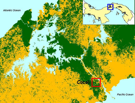
The Cocoli plot is located in a dry, semi-deciduous forest on the Pacific side, west of the Panama Canal, on a hillside near the Cocoli River. This site receives approximately 1950 mm of rainfall per year.
The plot is 4 ha, L-shaped with a 300 x 100 m rectangle and a 100 x 100 m square set to the right side of the southernmost hectare. This secondary mature forest is estimated to be about 80-120 years old.
The Cocoli plot has been censused 3 times: 1994, 1997, and 1998. All free-standing woody plants with stem diameter 1 cm or above at breast height were tagged, measured, mapped, and identified to species.